-
Day 13: Monterey, CA to King City, CA
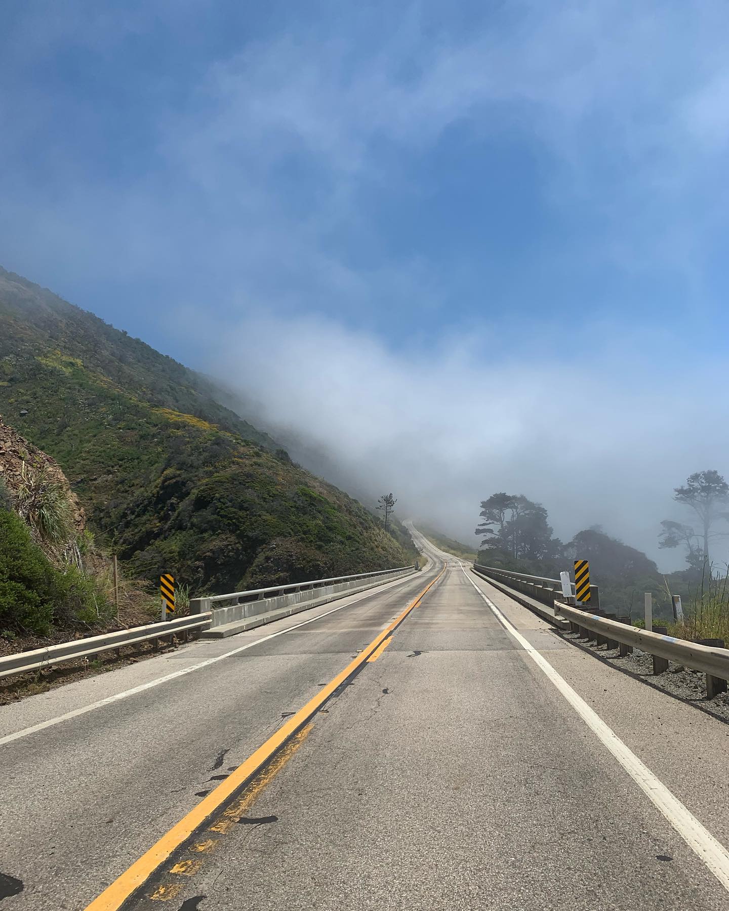
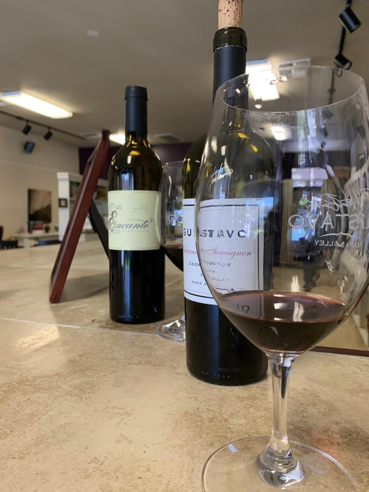
Postcard from King City, California Preamble: Last winter, part of Highway 1 collapsed in a few points due to particularly nasty weather hitting this region. As of today, coming from Monterey, the furthest south you can get is to the hamlet of Lucia. I started the morning procrastinating on leaving town, hoping for the fog and clouds to finally leave me alone. But after an hour or so of wandering along the pointlessly scenic 17-Mile Drive between a gray Monterey and an even grayer Carmel-by-the-Sea, I gave up, taking my chances and moving towards the Big Sur. A 130-mile (65*2) psychedelic round trip, driving up and down the rugged and…
-
Day 12: San Francisco, CA to Monterey, CA
Postcard from Monterey, California. Another relatively short leg, 139 miles of uneventful and almost anonymous driving, mostly along the coast on the Cabrillo Highway portion of the California State Route 1, or on smaller and less crowded streets sandwiched between the highway and the Pacific Ocean. After spending most of the morning drive complaining about the first real traffic I encountered in this road trip and about the once again disappointing weather, things got a bit better: the clouds stuck around a bit longer, almost teasing me – sunny and blue sky a few miles inland on my left, cloudy and gray over my head and over the ocean coast…
-
Day 10 and 11: Napa CA to San Francisco CA
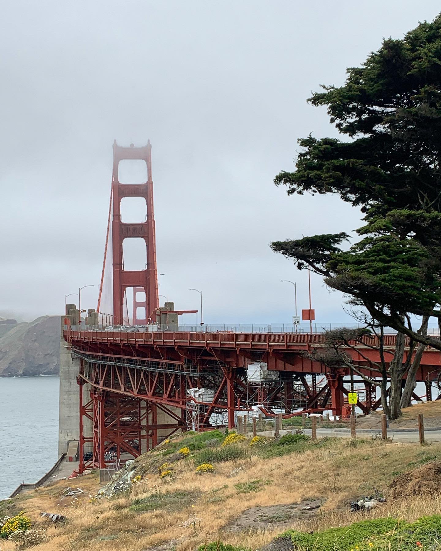
Postcard from San Francisco, California. The northern Cali cloudy morning weather tried hard to upgrade into a sunny day before unavoidably giving up right after Richardson Bay when the San Francisco-friendly usual misty-morning-tick-as-fuck-fog took over. One of the shortest leg of this road trip. 50 quick miles to get to the “The City” plus an additional 30 miles spent driving around San Francisco, ‘cause navigating through its fascinating neighborhoods is like being a supporting act in a 70s movie. Since parking on these steep streets ain’t an easy job if I don’t get an Oscar nomination this year, well, the system is rigged. Call it serendipity. I took a wrong…
-
Day 7, 8 and 9: Fortuna CA to Napa CA
Postcard from Napa, California. I started the day with a final farewell to the redwoods, driving along the Avenue of Giants, a 32-mile-long empty road: roof open, jazz on, and trees on both sides giving me their own version of a guard of honor. I didn’t get streamers and confetti at the end, but that’s ok. California State Route 1 towards wine country was nerve-wracking, foggy and curvy at first. It became relaxing, sunny and smooth the further south I went: the more yellow the vegetation, the bluer the sky, the smaller the pines. Once on the Sonoma Coast, I took a slight detour back north to get to the…
-
Day 6: Crescent City, CA to Fortuna CA
Postcard from Fortuna, California. It was drizzling when I took off in the morning: a mystic and cool experience under the redwoods umbrella at first, a scary and uncomfortable drive on the uncovered bald edge of the Northern California hills, engulfed in brumous, hazy fog right after. The two-hour hike at Prairie Creek helped me relax and confirmed my now forever-changed benchmark of what a tall tree is. Or what tall means, in general. Size matters but my favorites were those Freddy Krueger’s finger-like trees, coming out of planet Earth covered in moss, giving the universe an unapologetic finger. Damn poetic. Pursuing my goal of driving as little on the…
-
Day 5: Florence, OR to Crescent City, CA
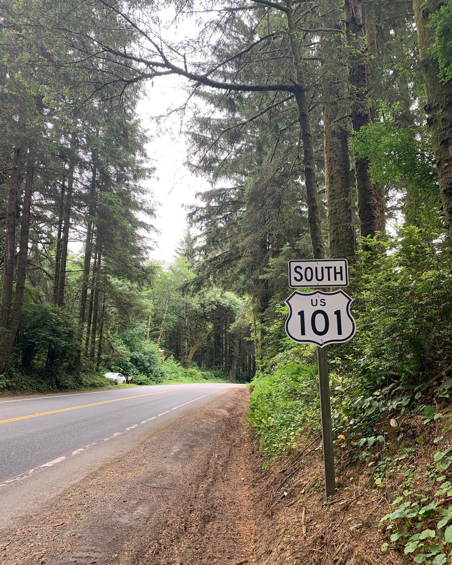
Postcard from Crescent City, California. Today’s ride gave me little opportunities to leave the, mostly sunny, highway 101. When that happened, a thick and stubborn fog covering the coast made reaching most of the viewpoints a pointless exercise. The one stop for lunch, to rest my already painful neck and take the PNW oysters final score to an honest 24 units, was definitely more meaningful. 229 pretty uneventful straight-as-it-gets miles, but the last 16: entering cloudy northern California meant my first encounter with the redwoods and a 45 or so minutes spectacular drive on an unpaved narrow road, zigzagging between incredible trees to reach the Stout Grove trail. The 2-mile-long,…
-
Day 4: Astoria, OR to Florence OR
Postcard from Florence, Oregon. I took it easy in the morning, hanging around a buzzing and sunny Astoria to check a couple of Goonies locations out before leaving town to spend a little time chilling on Cannon Beach (“Hey you guuuys!”). In total it was a smooth 207 miles drive – in and out, up and down, the Oregon coast, taking any possible chance to leave the Highway 101 and drive at my own pace – ended with a crab cake and a glass of Willamette Valley Pinot by the water in Florence. I am starting seeing a pattern here: trees – ugly coastal cities – trees – breathtaking viewpoints…
-
Day 3: Port Angeles, WA to Astoria, OR
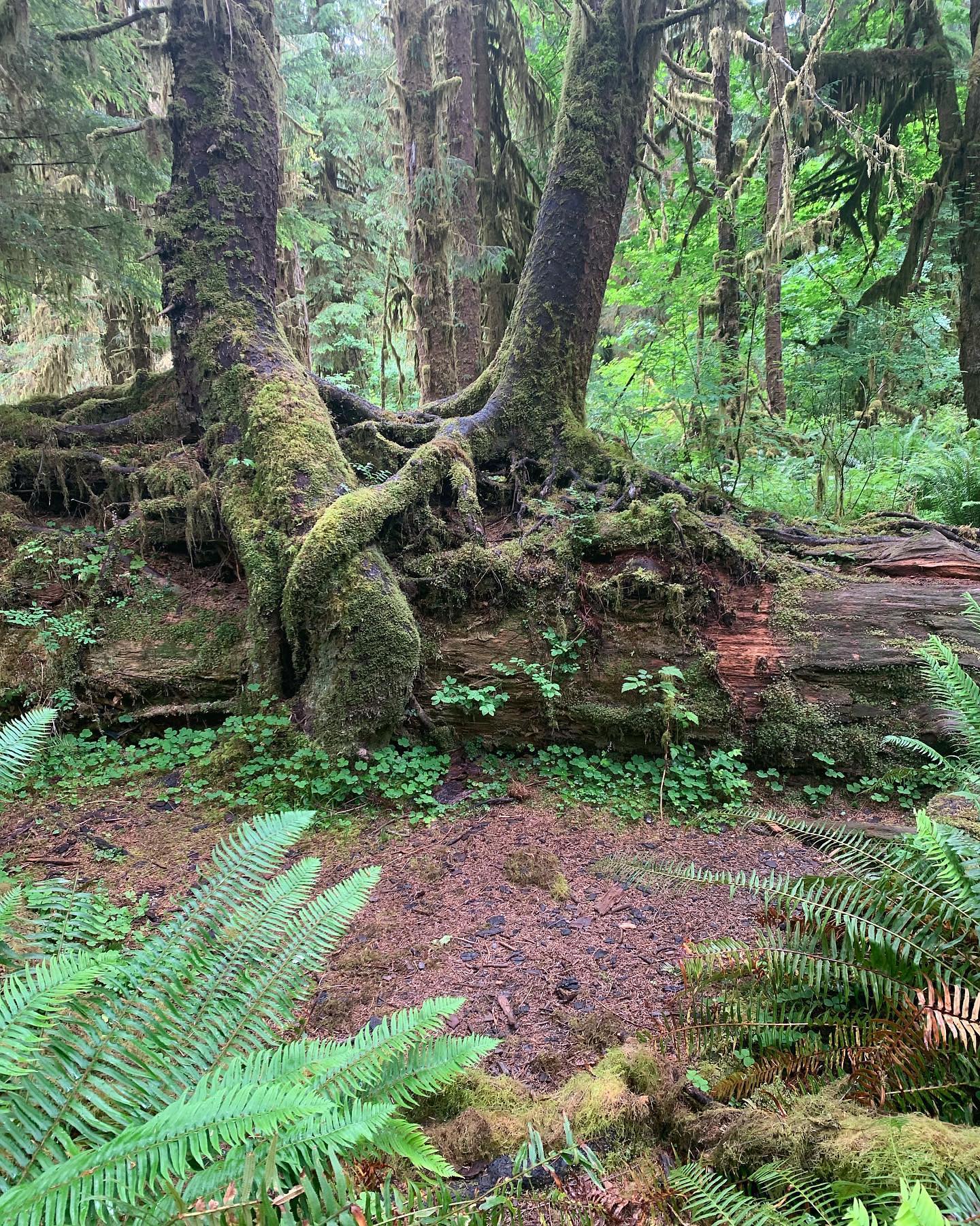
Postcard from Astoria, Oregon. Another early morning meant driving the first part of today’s 336 miles in misty, foggy weather with white clouds still sleeping in the valleys and majestic conifers guarding both sides of the road. A few miles after Forks, I took a break from the 101 highway loop, heading towards the Hoh rainforest for a longer than expected easy hike among trees covered with clumps of hanging moss, stuck there silently hugging each other for thousands of year. Kinda romantic. Back to the coast right after leaving the rocks and driftwood of Ruby beach, it was heavy rain for about an hour followed by a sunny and…
-
Day 2: Seattle WA to Port Angeles WA
Postcard from Port Angeles, Washington. Started the day pretty early, a bit hungover, to get to the ferry terminal, leaving behind a cloudy, lightly raining Seattle. The wind on the boat, a strong black coffee a crucially necessary, cheesy bacon and egg muffin took good care of me. The tricks you learn in London, huh? The ferry to Bainbridge Island was a pleasant, almost fun, 40 minute ride through a mostly sunny and calm Elliot Bay: shiny waters, blue sky and lushly vegetation: it’s the Emerald City for a reason after all. After a quick stop in the pretty postcard-like charming village of Poulsbo, today’s leg headed north, towards the…
-
Day 1: Sea-Tac WA to Seattle WA
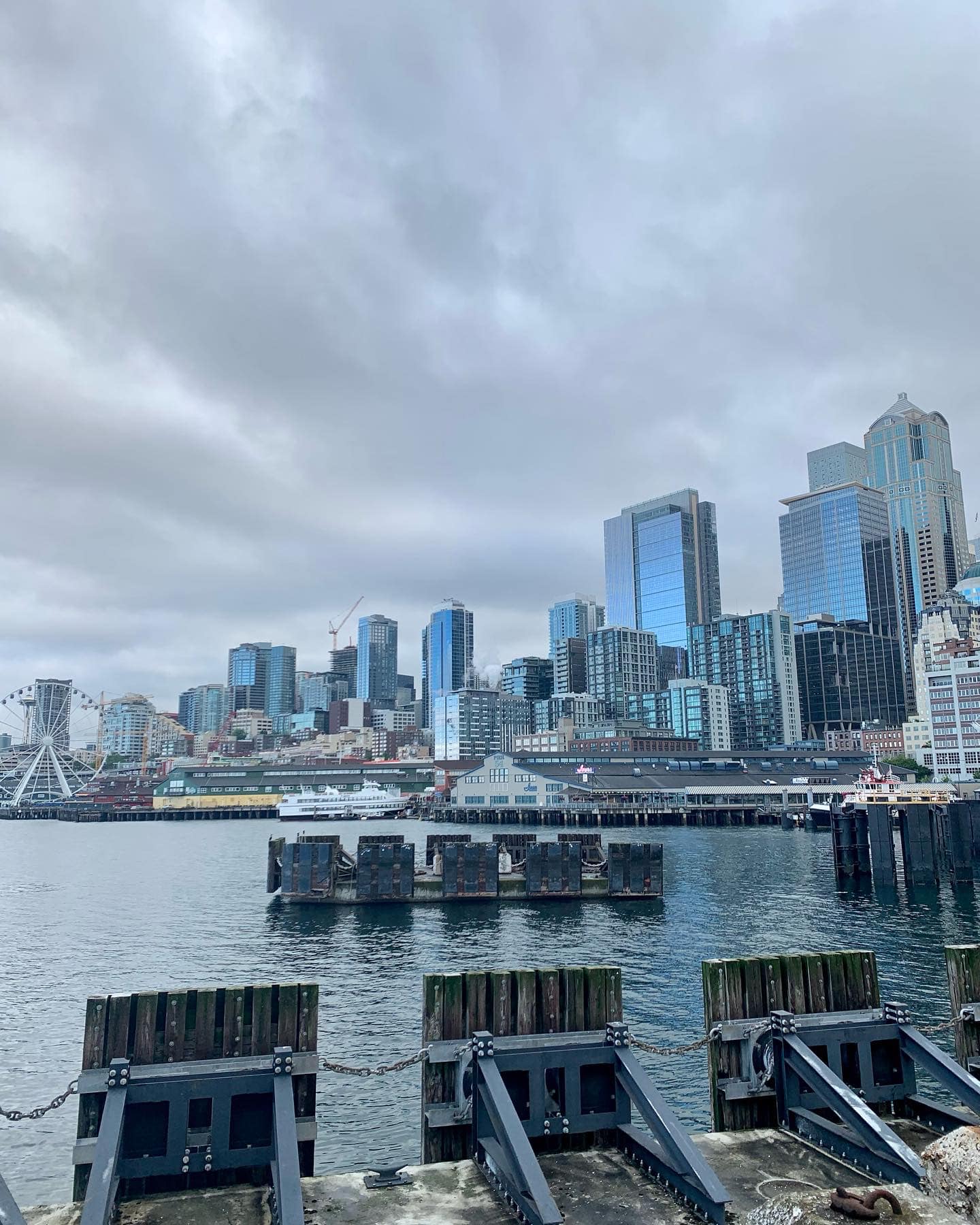
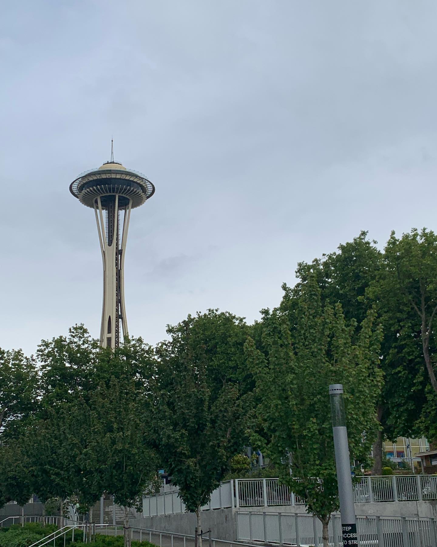
Postcard from Seattle, Washington. Sea-Tac Airport to Seattle is not exactly a road-trip. More a 17 miles easy morning commute but it was the first 17 miles I drove since last year trip to Key West, hence I count it in. The inclement weather seems a familiar constant in the first couple of days of these US road-trips. A tornado in 2021. Thunderstorms in 2022. Light rain today. Progress, I say. Seattle: pine trees, lushly vegetation, majestic clouds, oysters for lunch, a dinner with one of my favorite out of state Chicagoan, the discovery of Fremont, one (two) for the road in an incredible dive bar, lots of coffee to…
-
Green Card
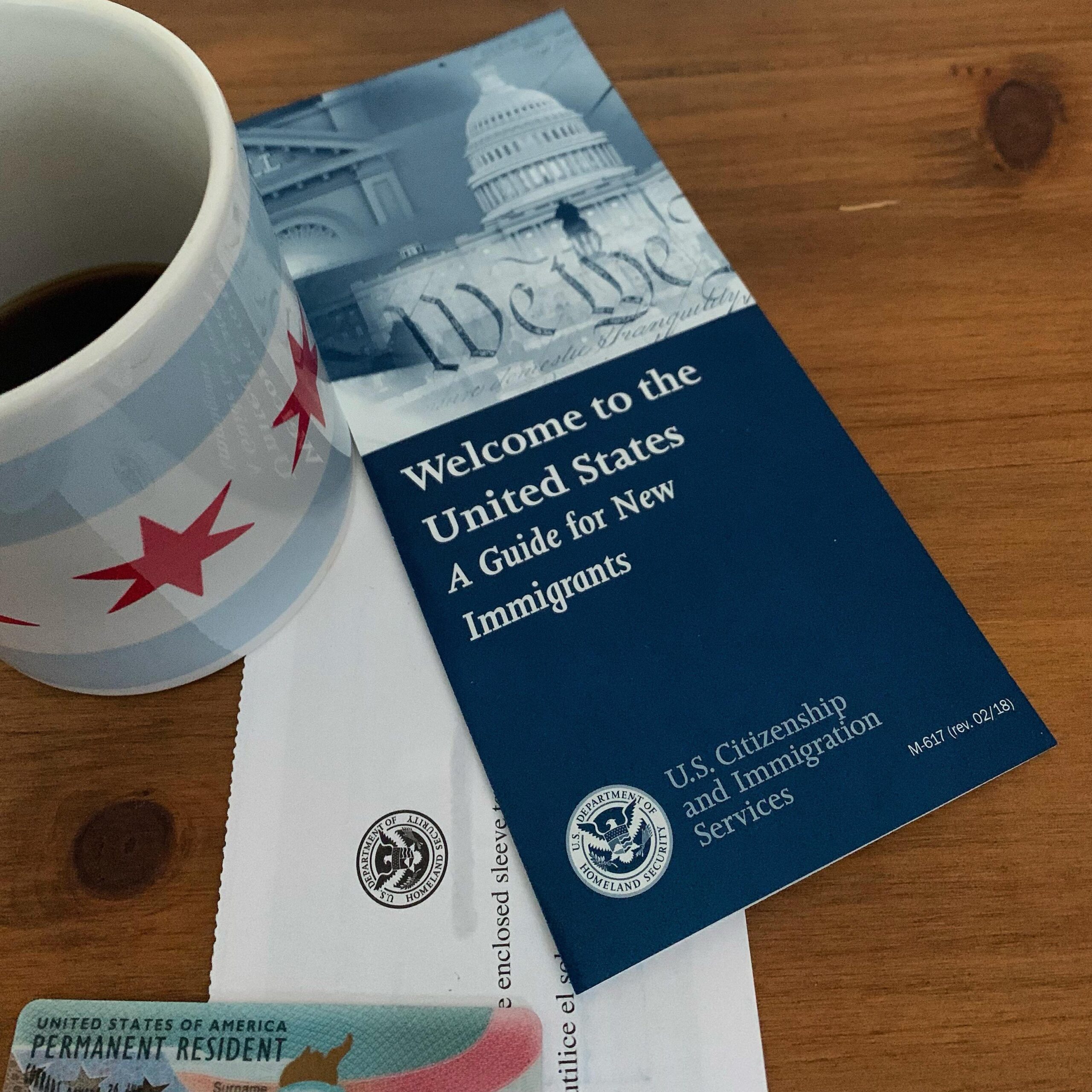
In March 2023 I finally got my green card printed and delivered. Took me exactly 4 years to get it from the day I got into the US via an intra company transfer. 3 years if I start counting from the day I’ve actually started the permanent residency process in March 2020. It’s been a nerve-breaking, stressful time. Here I am collecting my detailed green card timeline and all sort of tools and resources that helped me either staying sane or informed, possibly debunking some myths. My Green Card Journey March 3, 2023 My Green card journey, step by step, from moving to the States and starting the process to…
-
My Green Card Journey
My Green card timeline, step by step, from starting the process to actually receiving the card in the mail
